
ESTATE MAPS
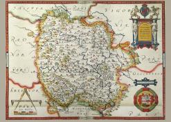
There are a number of archives with significant collections of estate maps, often bound in volumes. Those available these are keyworded by the name of the properties and parishes concerned. Where there are no specific links below, estate names / parishes should be put into the SEARCH to find related articles in our publications.
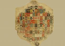
1577 Bringewood Chase, Richards Castle and Ludlow map It's recommended that this map is downloaded as it needs high magnification to see the interesting details. Thanks to the late David Lovelace for this map; David's article of his about Bringewood Chase and much of his extensive academic work is found here.
Kentchurch Court archive volume of properties circa 1790: The Scudamore family of Kentchurch commissioned a volume of maps and book of reference from surveyor Joseph Powell for its twenty-nine estates in Herefordshire and Monmouthshire in about 1790. By kind permission of the Scudamore family the Club has been allowed to put images from the volume on the website, using photographs taken by Club member David Lovelace.
Some extra information and maps for Herefordshire estates has been added, and also a link to the Monmouthshire equivalent of the Herefordshire Historic Environment Record (HER) where the grid reference can be found. This is useful if you wish to look at older OS maps via the links on TOPICS>MAPS>ONLINE MAP SOURCES> and go to, for example, the National Library of Scotland map website and scroll down the options for, say, Ordnance Survey England 25in where you can put in the grid reference and get a list of available maps.