LITERATURE
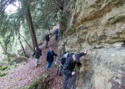
Much has been written about Herefordshire's ancient woodlands but only recently has it been possible to overlay data from maps, aerial photos and landforms such as LiDAR in an accurate way. This does not mean that this is the only way of examining the past; pollen analysis is but one tool.
Ancient Woodlands and Trees of Herefordshire - our heritage revealed by David Lovelace is the report of a project which ran from 2006-2009. It gives a good summary of the modern approach to mapping the county's ancient woodlands.
