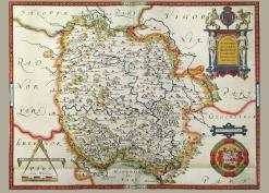
Colwall lies to the east of Herefordshire about hard up against the border with Worcestershire and the Malverns.
In 1780 the surveyor J. Aird drew a decorative estate map for Edward Holder and his wife Ann, an estate which Edward held in right of his wife. The estate covered parts of the parishes of Colwall, Cradley and Mathon. On the map details of the different plots are given and a transcription of these has been made. The map is held by Herefordshire Archives and Record Centre with the reference B9/6. (Thanks to David Lovelace for the photography and assembly of this large map).
